DRONE FACADE PHOTOGRAPHY & MAPPING
SEE EVERY
Surface.
FROM ABOVE.
TerraScan Drone LLC delivers high-resolution aerial facade documentation, inspection imaging, and repair quantification for commercial and residential properties

.webp)
✔ Mapping & Quantification
16 REPAIR DISCIPLINES
From facade coatings to structural concrete, TerraScan provides aerial mapping and precise repair quantification across every building envelope discipline.
Structural
Concrete
Comprehensive aerial mapping and volumetric quantification of concrete surface defects, spalling, cracking, and delamination across all structure types.
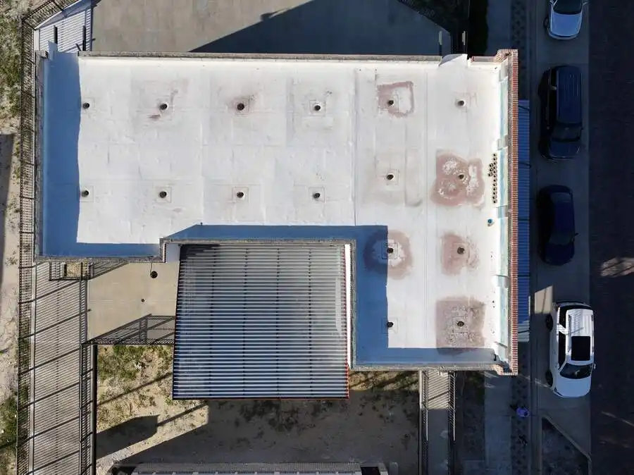
Protective
Coatings
High-resolution aerial imaging to map coating failures, blistering, peeling, and adhesion loss across large surface areas quickly and safely.
Facade
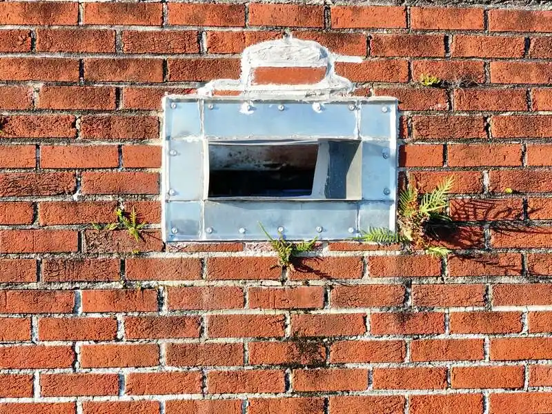
Masonry
Detailed documentation of masonry facade conditions including mortar joint deterioration, efflorescence, staining, and structural movement.
Waterproofing
.webp)
Sealant
Aerial survey and linear quantification of sealant joint failures, voids, and cracking on curtain walls, windows, and expansion interfaces.
Structural
.webp)
Expansion Joints
Precise aerial documentation of expansion joint conditions across roofs, decks, facades, and bridge structures with linear quantity takeoffs.
Aerial Imaging Services
View All Services
Explore drone-powered facade photography, mapping, and inspection services designed to document every surface with clarity and precision.
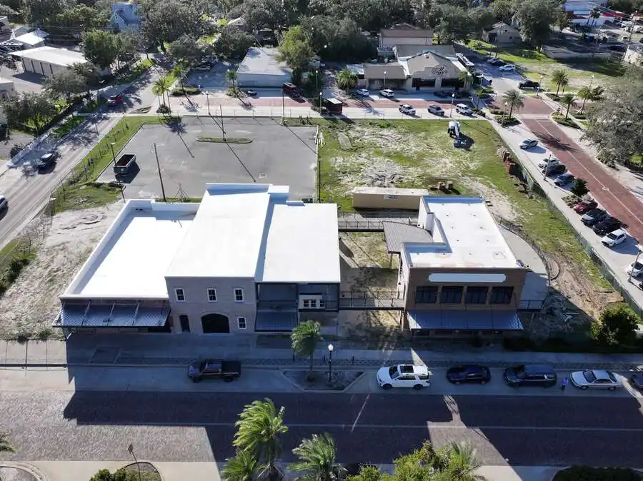
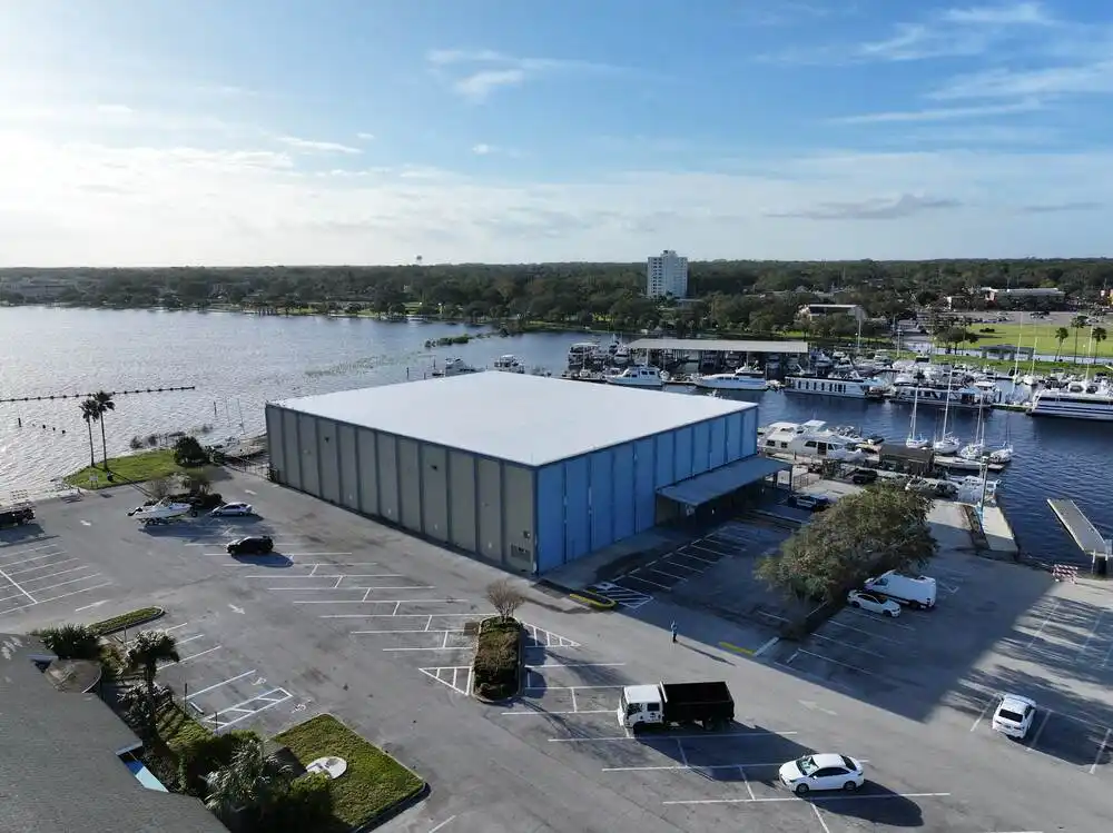
✔ Real work
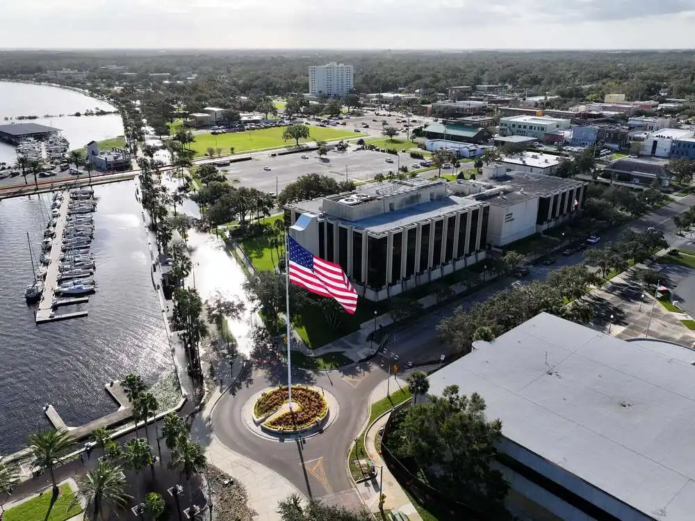
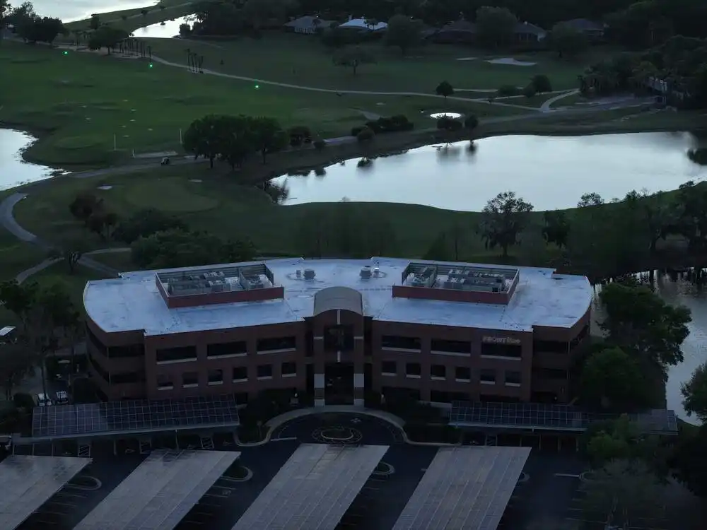
AERIAL PORTFOLIO
✔ FAQ
Your Questions. Our Expertise.
How do I get an accurate price for my project?
Are you licensed and insured in Florida?
How long does a typical installation take?
Does your work come with a warranty?
Why do you recommend James Hardie siding for Florida?
What specific services do you provide?
✔ Every flight. Every angle.
BEYOND THE
BUILDING
Whether it’s a rooftop at dawn or a skyline at dusk, TerraScan puts eyes where no ladder can reach — delivering imagery that tells the full story of your property.
Book an Appointment
We have received your estimate request and will be reaching out to you shortly.
.webp)